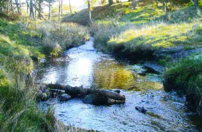
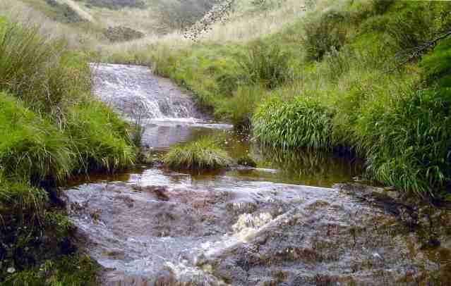
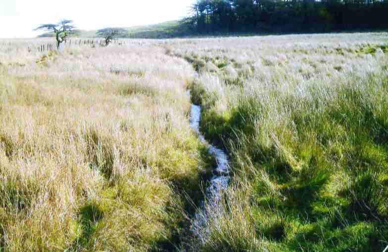
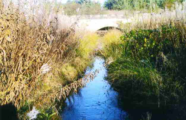
There are a number of tracts of water in the vicinity of Salsburgh including three man-made reservoirs and various small lochs and ponds.The countryside around the village also has several burns which run through it.
Roughrigg Reservoir:
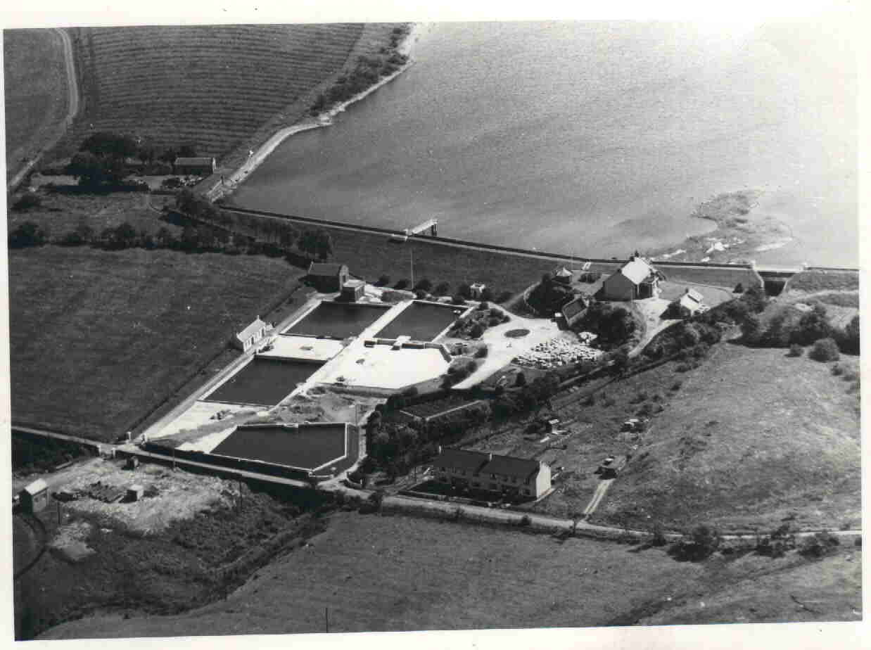
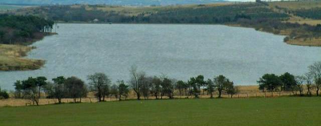
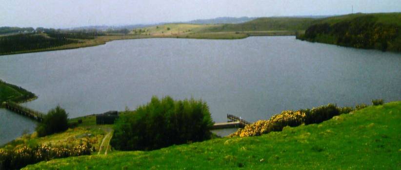
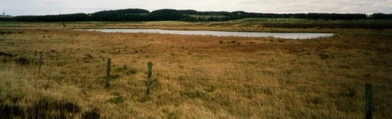
Known locally as the loch, or the WaterWorks this reservoir was constructed between 1846 and 1849 as a joint venture between the Forth and ClydeCanal owners and the Airdrie and Coatbridge Water Company.The canal owners had previously purchased the MonklandCanal in 1846.
An agreement between them allowed the Forth and ClydeCanal owners to draw an agreed amount of water to supply the MonklandCanal and for the Airdrie and Coatbridge Water Company to also draw a set amount to supply the water needs of the population of Airdrie and Coatbridge.This agreement continued until 1874 when the Airdrie and Coatbridge Water Company bought out the Forth and ClydeCanal owners. The Airdrie and Coatbridge Water Company eventually became West of Scotland Water who subsequently became Scottish Water who no longer operate it as a functioning water works and it is currently leased by them to the Roughrigg Angling Club.
Forrestburn Reservoir:
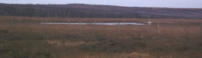
Situated just over two miles north-east of Salsburgh this is another water-works no longer in operation.It was previously operated by West Lothian County Council Water Department to supply water to the towns of Armadale and Bathgate.The current owners are North Lanarkshire Council.
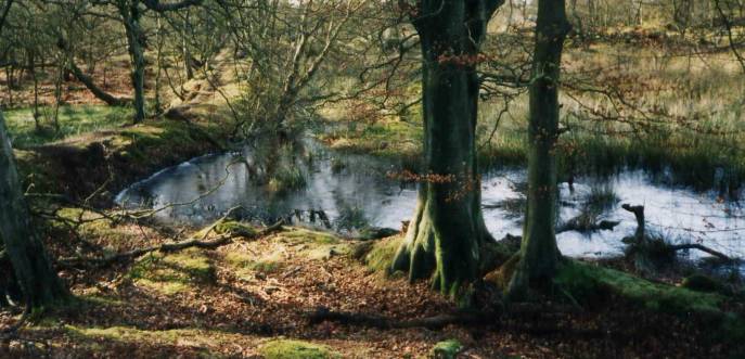
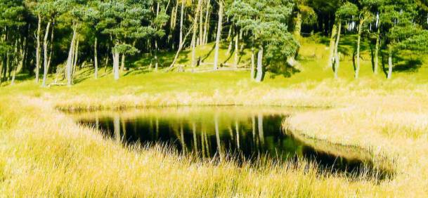
Lily Loch:
The reservoir at the Lily Loch was created in 1836 by substantially increasing the size of an already existing small loch.The project was financed by the owners of the Forth and ClydeCanal and its purpose was to supply the Forth and ClydeCanal with water via the North Calder Water and the MonklandCanal.
Subsequent owners of the Lily Loch were the Caledonian Railway Company, then the London Midland Scottish Railroad and it is presently owned by British WaterwaysScotland.At present the Lily Loch is used by the Clarkston Angling Club.
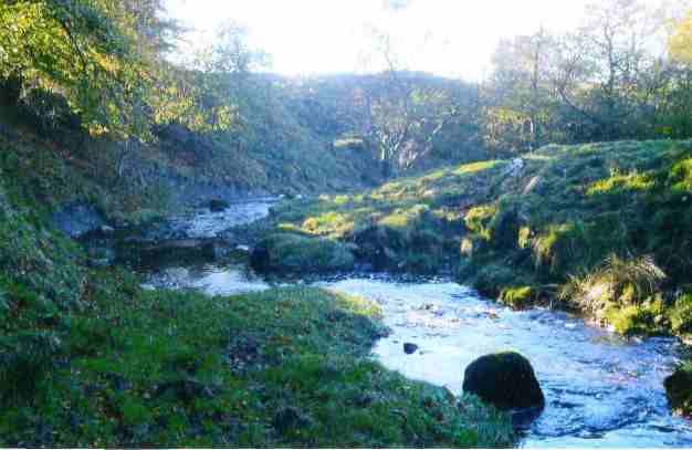
Even now water from Roughrigg Reservoir and the Lily Loch travels via the North Calder Water and the MonklandCanal then through underground pipes westwards following the route of the M8 motorway to the Forth and ClydeCanal at Port Dundas.
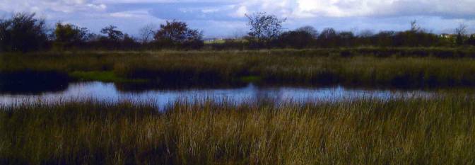
The Riven Loch:
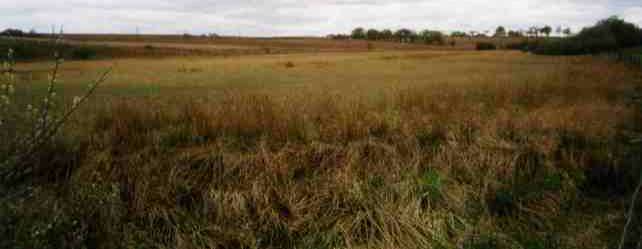
The Riven is a small loch located just south of Salsburgh on the Moss and has been designated a site of importance for nature conservation by reason of the peat bog and the flora and fauna.The local historian Grossart tells in his book of highlanders resting near the loch on their way back from their participation in the invasion of England during the Jacobite Rebellion of 1745.He also states that they paid for food which was supplied by a local lady.
Heatherhead Loch:
This is a small loch in a sheltered belt of trees adjacent to Heatherhead Plantation which lies south of Jersay Farm.It is now much overgrown and normally does not contain a lot of water but the area it covered in the past can be traced and clearly it must have been much bigger.This loch appears in W. Forrests map of this area dated 1816.
Grays Loch:
This area of water lies at the west-end of Salsburgh next to the ruins of the farmstead of Sheddinhall.The water and the area around it is the habitat of numerous species of animals and birds.The loch was also used in time gone by for curling and skating -providing the ice was thick enough for these purposes.
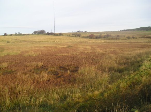
Duntilland Loch:
This loch, the scene of the drowning tragedy depicted on another page of this website, is situated about 200 metres north-east of Salsburgh Sewage Works and now comprises a roughly circular area of marshy ground.The water was drained from the loch when the railway line from Turdees Junction to Dewshill Colliery was constructed.Nowadays water is prevented from gathering in volume due to a large drain culvert through the railway embankment.The area of the former loch can more easily be seen in summer as it is noticeably greener than the surrounding vegetation.
Dunsyston Loch:
This loch, which is marked in Blues Atlas of 1654, lay north-west of Salsburgh.Today the only visible sign is a fairly large area of extremely marshy ground covered with reeds and roughly rectangular in shape.This piece of ground lies just beyond he extreme south-eastern boundary of Easter Moffat Golf Club.
Dewshill Loch:
This small loch and the area around it along with two other nearby sites have been designated sites of nature conservation.The loch lies just west of Dewshill Farm.
Cant Hills:
There are two fair sized ponds on the northern side of the Cant Hill.One is quite near the Giants Well at Shottsburn and the other is located across the Shottskirk Road from the entrance to Fortissat Colliery.
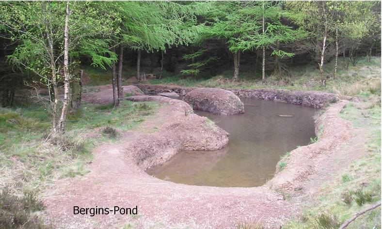
Bergins Pond:
This is small pond at the extreme edge of a forest plantation just south-west of Salsburgh.It is man-made and has been under on-going construction for a good many years by a local environmentalist and nature lover.
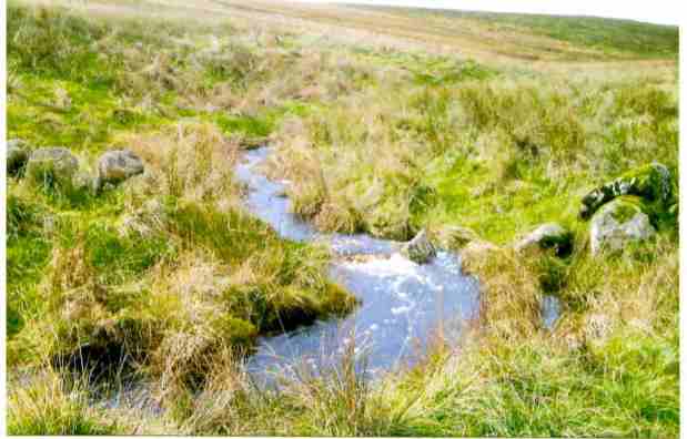
Shotts Burn:
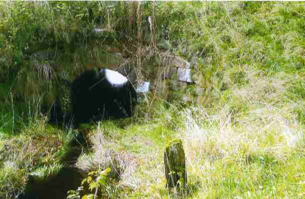
This burn begins in the Fortissat Hills around the area of the Giants Well.It flows west and north around the village of Salsburgh and passes the Salsburgh Sewage Works.In the past the burn divided here with one part going underground to Roughrigg Reservoir.The access to this underground channel is now blocked and the burn wholly continues westwards, skirting Chapelhall and eventually joining the North Calder Water in the Monkland Glen.
Tillan Burn:
The Tillan Burn begins in the Fortissat Hills and it flows west under the jersey brig past Laws Castle and HareshawVillage where it turns south around Cleland and then joins the South Calder Water at Ravenscraig.
Cant Burn:
It starts in the area of a spring in the Cant Hills and flows south of the Kirk O Shotts towards the Village of Salsburgh where it joins the Shotts Burn just east of the entrance to Threeprig.The spring mentioned here was at one time the source of water for North and South Shotts Myres farm steadings which were located nearby across the Shottskirk Road
Jenny Burn:
The Jenny Burn flows from an area south-east of Roundknowe Wood and goes round the edge of Salsburgh Moss reaching the Village at the Kirkview playing fields where it travels through a culvert under the B7066 to join the Shotts Burn under the bridge at the east end of Main Street.Before this bridge was built travellers to and from the village had to pass through a ford at this point which normally was extremely muddy and the ford was known as the Gitters (gutters) a term that was also sometimes applied to the village of Salsburgh as a whole.The village was also called Beardie Row by some of the local early 20th Century mining community.
Garesulloch Burn:
This burn takes its rise in the area north of the Duntilland Road between the farms of Duntilland and Mountcow.It flows south-west between these two farms under the old Drumbowie Railway line before entering Roughrigg Reservoir.The Reservoir was built on the course of the Garesulloch Burn so when the burn emerges on the far side of Roughrigg it continues to follow its original course.However, from where it emerges from the reservoir, it is now known as the Clattering burn.This burn meanders west and south, eventually joining the Shotts Burn near Gartness Farm.
Forrestburn Water:
Forrestburn Water begins in the area between Mountcow Farm and Torrance Hill.Travelling approximately due east it follows the line of the Papperthills before passing under Forrest Road and entering Forrestburn Reservoir.
Brue Burn:
The Brue Burn has its source in the moor west of Salsburgh and flows west between Goodockhill Farm and the old Caledonian Railway line before it joins the Tillan Burn in the area of the old manure works at Hareshaw.
Fairy Burn:
The Fairy Burn starts in farmland to the east of Turdees Farm and travels between Turdees Farm and Blackrigg Farm before skirting the edge of Wester Dunsystan forest plantation and then flowing south joining the Shotts Burn near Samsons Putting Stone at Fairybank.
Browns Burn:
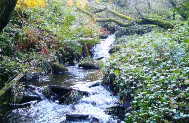
The Browns Burn begins in the area around Tipperdavie Well and after being joined by run-off water from Lady Bells Moss it travels around Annies Hill before it joins the North Calder Water in the area of PlainsNaturePark.